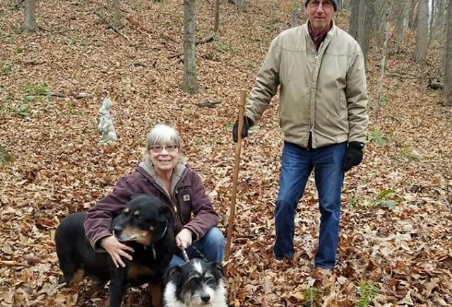
Last Saturday (or lasterday as granddaughter Molly would say), Dave and I hiked a small portion Old Man’s Cave section of the Buckeye Trail that runs between the rappelling area parking lot on Big Pine Rd. and Unger Rd. If you continue on, you reach Old Man’s Cave. We stopped at Unger Rd. and turned around to go back. In total we hiked 5 miles.
The weather was beautiful with a very unseasonable 60 degree temperature. We saw only two other people on the trail. Except for rappellers, we rarely run into much “traffic” in this area. In this section, the Buckeye Trail is also a bridle trail for most of the distance. We saw no horses or even evidence of horses yesterday.
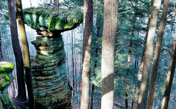
To start, park at the rappelling area parking lot on Big Pine Road. It’s just a short distance past the entrance to Conkles Hollow. Cross the road, and look for the Buckeye Trail blue blazes on trees. Cross the bridge over the creek, then turn left at the registration stand to start the trail. Just follow the blue blazes up the hill, past and through some really cool rock formations. When you see a 3 sided horse tie, you’re at the top.
Walk a little toward the horse tie, then turn around to look back and to the right. You should be able to see the Table Rock formation. Walk back a little toward where you exited the rocks, then turn left to continue on Buckeye Trail and along the top of the rappelling area. The trail needs some better marking because it is not clear where you should walk. By the way, this is not an area to bring little kids. In some places, the trail is close to the edge of the cliff.
Just keep going. Eventually the bridle trail splits off but you will rejoin it in a little while. After the trail turns away from the cliffs, it travels through a logged area that has been replanted with baby trees. Keep to the left and do not follow the logging road on the right. Although you will end up on Unger Road, it is not the Buckeye Trail. Unfortunately, this is exactly what we did! That logged area was disorienting. [we need to revisit this area because it probably has been better marked by now.]
As I mentioned, following this trail out and back is about 5 miles. There is a lot of uphill at the beginning but it is not a truly strenuous trail. It has some beautiful rock formations and a lovely hemlock forest. and it is seldom seen by most visitors to the Hocking Hills.
Mary at Marsh Hollow